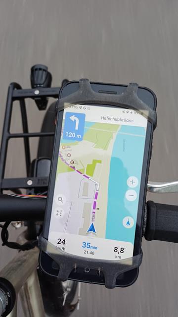
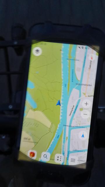
I don't necessarily know if this holds true everywhere, but at least in my area, #OrganicMaps is really good for planning #cycling routes.
#bicycle
#bicycle
OpenStreetMap 用の地図アプリ「Organic Maps」、公式アカウントが Mastodon にもあった。
1.44K Posts, 10 Following, 14.4K Followers · Organic Maps is a free, privacy-focused offline maps and navigation app for tourists, hikers, bikers, and drivers, made by the community and creators of MapsWitheMe/MAPS.ME app


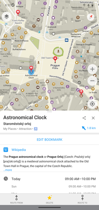
I like #OrganicMaps a lot, but there are a few probs I can't solve.
If I record then save a Track, then want to follow it later… how do I do that, short of just watching the map and staying on the trail?
It offers a "Route To" and "Route From", but when I tried one of those it just launched into turn-by-turn directions along some other calculated (and terrible) route. I also couldn't get out of that mode.
Any tips for
1) follow a stored track
2) exit directions mode

Does anyone here have any experience or use Organic Maps currently? What are your thoughts?
Is there any #OpenStreetMap based navigator app, where one could set up directions based on public bicycle rental stations? Like it guides me to one of the closes bike stands on foot, guides me to the nearest bike station to my destination, and guides me to the destination on foot?
#OrganicMaps @organicmaps have you thought about a feature like this? 🤔