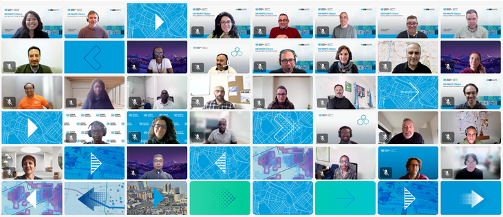
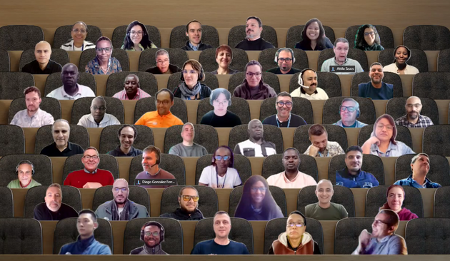
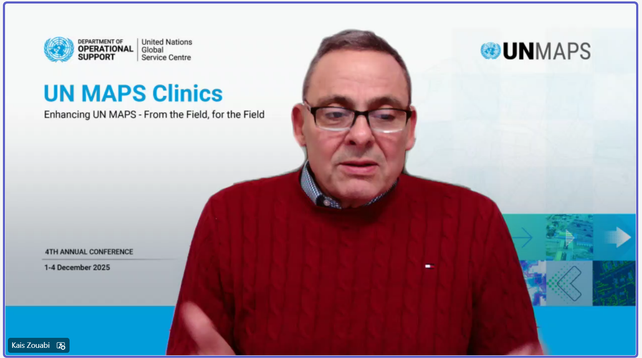
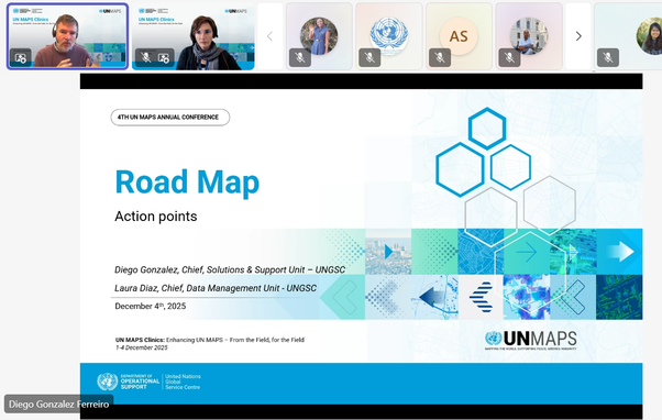
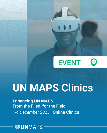
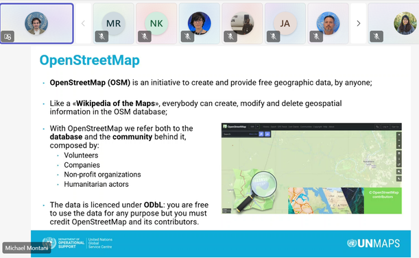
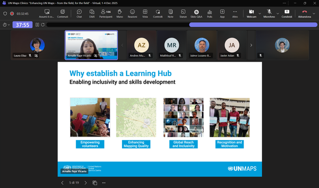
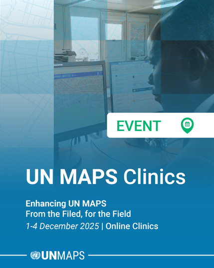
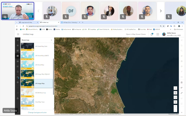
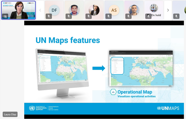
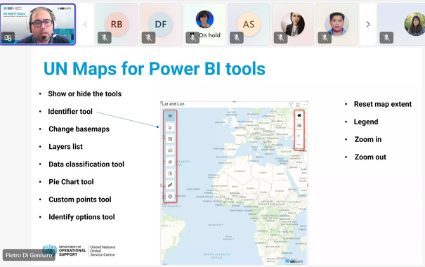
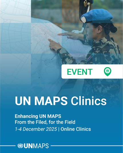
From 1 to 4 December 2025, United Nations Global Service Centre (UNGSC), in collaboration with the UN Office of Information and Communications Technology (UN OICT) and the UN Geospatial Network, organized the UN Maps Clinic sessions remotely. ๐ŸŒ๐Ÿ—บ

Read more ๐Ÿ‘‰ https://maps.un.org/news/4th-annual-conference-un-maps-clinics-enhancing-un-maps-field-field

#UNMapsConference #unitednations #geospatial #UNMaps #UNMappers #openstreetmap #GIS #peacekeeping #UNGSC #cartography #opendata #maps #UNgeospatial #mapping #mapservices #UNGeospatialNetwork

Mr. Kais Zouabi, Chief of Client Solutions Delivery Section, formally closed the conference with deep gratitude to the organizers and participants, and celebrating how far the community has come and looking confidently toward the shared roadmap ahead.

#UNMapsConference #unitednations #geospatial #UNMaps #UNMappers #openstreetmap #GIS #peacekeeping #UNGSC #cartography #opendata #maps #UNgeospatial #mapping #mapservices

In the closing session, Mr. Anthony Oโ€™Mullane, Director of the Policy, Strategy and Governance Division, United Nations Office of Information and Communications Technology, delivered a keynote address highlighting the potential of open-source technologies, the importance of local data ecosystems, and the growing recognition of GIS as an enterprise enabler.

#UNMapsConference #unitednations #geospatial #UNMaps #GIS #peacekeeping #UNGSC #opendata #maps #UNgeospatial #mapping #mapservices

๐ŸŽฏ Mr. Diego Gonzรกlez Ferreiro, Chief, Solutions & Support Unit, and Ms. Laura Diaz, Chief, Data Management Unit, led the co-creation session aiming to outline the definitive implementation roadmap and the proposed path forward after the #UNMaps Clinics.

#UNMapsConference #unitednations #geospatial #UNMaps #UNMappers #openstreetmap #GIS #peacekeeping #UNGSC #cartography #opendata #maps #UNgeospatial #mapping #mapservices

๐Ÿ—บ DAY 4 and Closing Session of the UN Maps Clinics ๐Ÿ—บ

Today's session focused on 3D Tools and Features ๐Ÿ’ป, and Ways Forward โญ

๐ŸŒ Mr. Javier Neme-Lozano, Chief, Visualization and Mapping Unit, presented the Digital Twins applications and explained its role in simulation, analysis, and strategic planning for operational cases.

#UNMapsConference #unitednations #geospatial #UNMaps #UNMappers #openstreetmap #GIS #peacekeeping #UNGSC #cartography #opendata #maps #UNgeospatial #mapping #mapservices

๐Ÿ”Ž Mr. Michael Montani, Community Engagement Coordinator, shared about field mapping and data validation using collaborative editing platforms such as #OpenStreetMap.

๐Ÿ’ป Ms. Arnalie Vicario, Community Engagement Specialist, presented the UN Maps Learning Hub and different capacity building activities top develop open geospatial skills.

Conference Agenda here: ๐Ÿ‘‰ https://maps.un.org/conference/2025

#UNMapsConference #unitednations #geospatial #UNMaps #UNMappers #openstreetmap #GIS #opendata #mapservices

๐Ÿ—บ DAY 3 of the UN Maps Clinics ๐Ÿ—บ

Today's session focused on Location Services & Community.๐Ÿ“

๐Ÿ”Mr. Hector Mulet, Geospatial Information Systems Consultant, and Mr. Javier Adรกn Silvestre showed the UN Maps Search capabilities and its functionalities.

โ†•๏ธMr. Andrรฉs Muรฑoz Zuluaga, Geospatial Information Systems Consultant, demonstrated UN Maps' routing functionalities to support mobility planning and logistical decision-making.

#UNMapsConference #unitednations #geospatial #UNMaps #GIS #mapservices

๐Ÿ“ˆMr. Pietro Di Gennaro, Computer Science Engineer, showed the UN Maps Power BI plugin for creating interactive dashboards and analytics.

๐Ÿ—บ Mr. Antonio Carrozzo, Geospatial Information Systems Assistant, presented the recent enhancements to the Maps on Demand application and its expanded capabilities.

Conference Agenda here: ๐Ÿ‘‰ https://maps.un.org/conference/2025

#UNMapsConference #unitednations #geospatial #UNMaps #GIS #peacekeeping #UNGSC #opendata #maps #UNgeospatial #mapping #mapservices

๐Ÿ—บ DAY 2 of the UN Maps Clinics ๐Ÿ—บ

Today's session focused on Geospatial Information and Mission Dashboards ๐ŸŽฏ

๐Ÿ–ผ Mr. Attila Szucs, Associate Geospatial Information Officer, demonstrated the Image Map feature and its integration and practical applications.

๐Ÿ“Ms. Laura Diaz, Chief, Data Management Unit, discussed about the Operational Map and how we maintain and utilize geodata information.

#UNMapsConference #unitednations #geospatial #UNMaps #UNMappers #UNGSC #opendata #UNgeospatial #mapservices