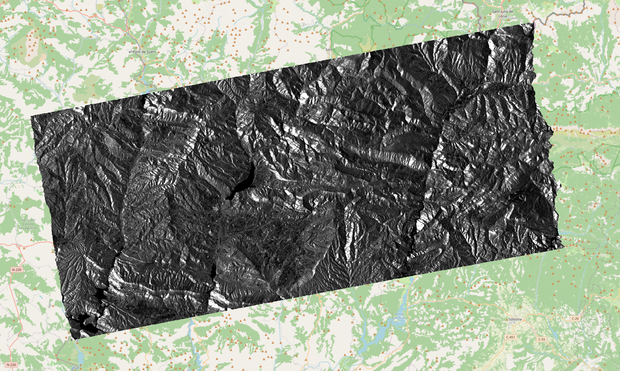
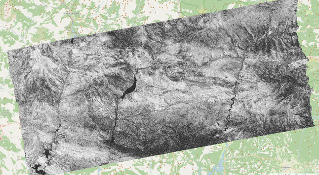
EO-Tools helps put complex SAR imagery into a geographic context.
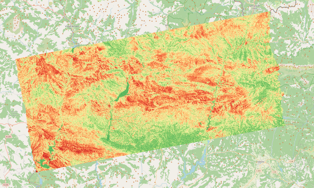
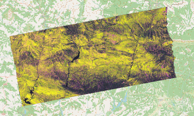
Using any polygon as your area of interest, EO-Tools lets you crop Sentinel-1 products and overlay them with optical imagery or GIS layers.
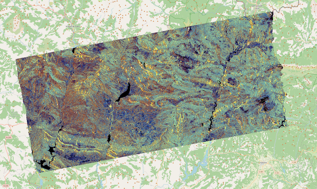
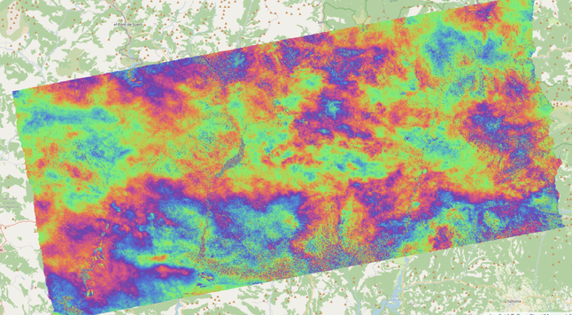
Notice how InSAR coherence clearly highlights temporally stable scatterers, making man-made structures stand out. A loss of coherence can help reveal areas impacted by geohazards such as earthquakes, landslides, or floods.
#EarthObservation #SAR #InSAR #Sentinel1 #GIS #Python #OpenSource