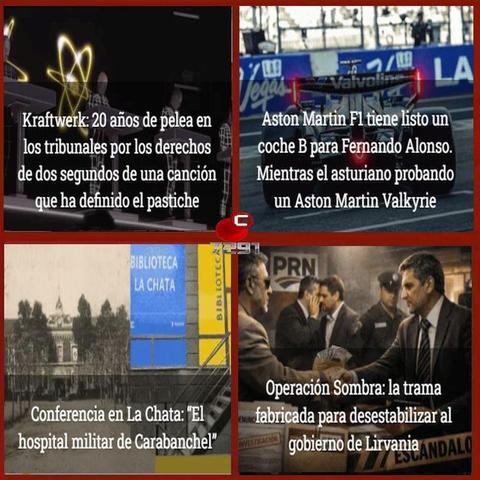
FERNAND BECOMES A POST-TROPICAL CYCLONE.
THIS IS THE FINAL NHC ADVISORY.
As of 9:00 AM GMT Thu Aug 28 the center of Fernand was located near 41.2, -42.9 with movement ENE at 23 mph. The minimum central pressure was 1009 mb with maximum sustained winds of about 45 mph.
Track: https://www.nhc.noaa.gov/refresh/graphics_at1+shtml/083807.shtml?cone
Advisory 19: https://www.nhc.noaa.gov/text/refresh/MIATCPAT1+shtml/280836.shtml
FERNAND LIKELY TO BECOME A POST-TROPICAL CYCLONE TOMORROW.
As of 11:00 PM AST Wed Aug 27 the center of Fernand was located near 40.0, -45.5 with movement ENE at 18 mph.
The minimum central pressure was 1006 mb with maximum sustained winds of about 50 mph.
Track: https://www.nhc.noaa.gov/refresh/graphics_at1+shtml/024104.shtml?cone
Advisory 18: https://www.nhc.noaa.gov/text/refresh/MIATCPAT1+shtml/280238.shtml
FERNAND EXPECTED TO BECOME POST-TROPICAL ON THURSDAY.
As of 5:00 PM AST Wed Aug 27 the center of Fernand was located near 39.3, -47.4 with movement ENE at 15 mph.
The minimum central pressure was 1006 mb with maximum sustained winds of about 50 mph.
Track: https://www.nhc.noaa.gov/refresh/graphics_at1+shtml/204626.shtml?cone
Advisory 17: https://www.nhc.noaa.gov/text/refresh/MIATCPAT1+shtml/272037.shtml
11:50 am AST Wed, Aug. 27 Tropical Storm #Fernand Update: Fernand A Little Stronger. Very recent satellite-derived wind data indicate that Fernand has strengthened slightly, and maximum sustained winds are now near 50 mph (85 km/h) with higher gusts. https://t.co/WmZffJF3kb
FERNAND LIKELY TO BECOME POST-TROPICAL BY TONIGHT.
As of 11:00 AM AST Wed Aug 27 the center of Fernand was located near 38.4, -49.5 with movement E at 12 mph.
The minimum central pressure was 1007 mb with maximum sustained winds of about 45 mph.
Track: https://www.nhc.noaa.gov/refresh/graphics_at1+shtml/145956.shtml?cone
Advisory 16: https://www.nhc.noaa.gov/text/refresh/MIATCPAT1+shtml/271458.shtml