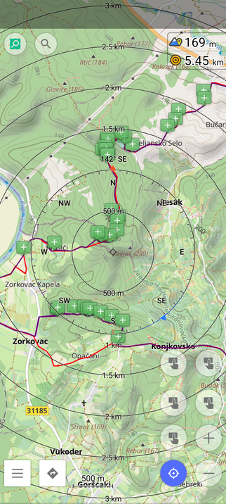
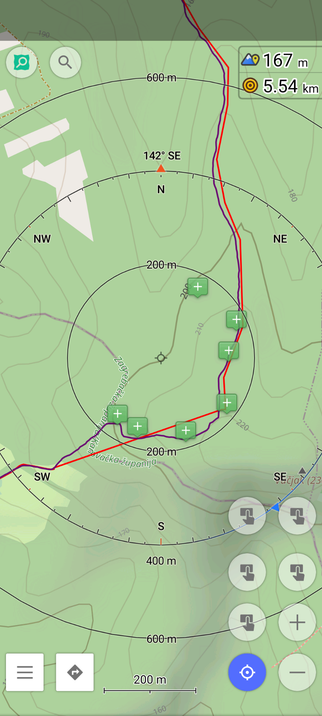
Habe heute als Ausdauertraining mal #Rucking (schnelles Gehen mit Gewicht im Rucksack) probiert.
Das beißt schon ordentlich bei kleinen Zeiten/Strecken. Werde davon sicherlich die nächsten Tage was spüren.
Die App #Ruckwell trackt übrigens alles fein säuberlich. https://ruckwell.com