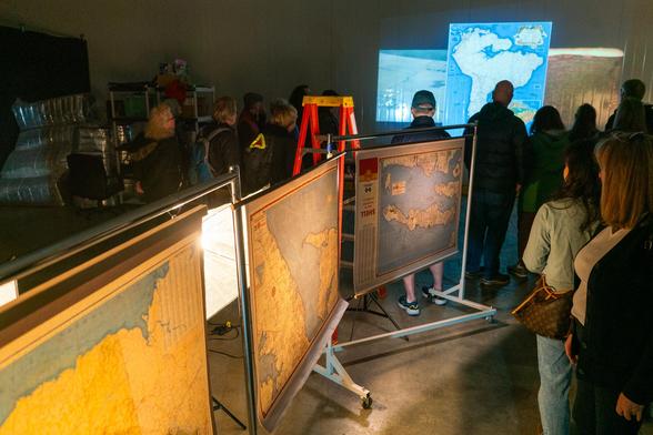
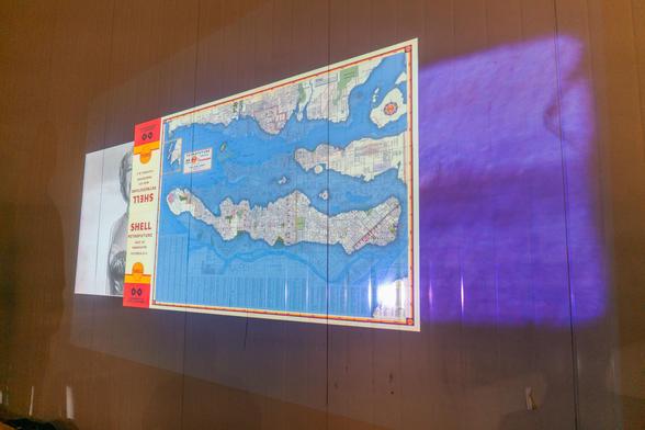
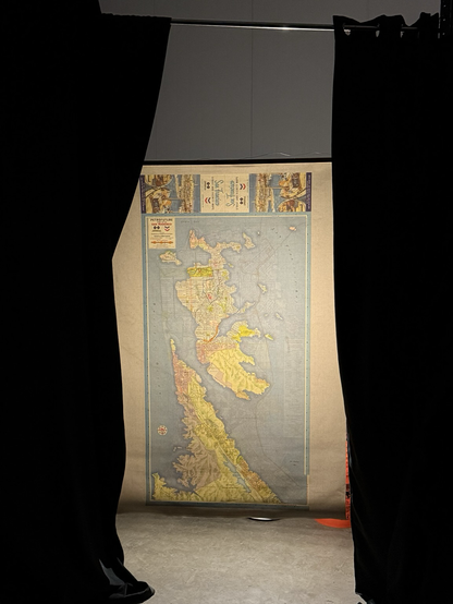
Here's the #Petrofuture of the north part of #Ireland, including, of course, Northern Ireland.
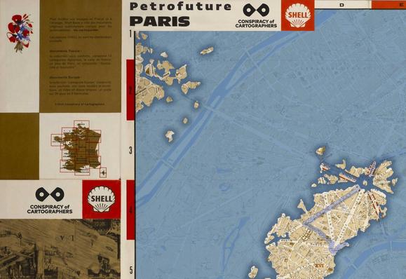
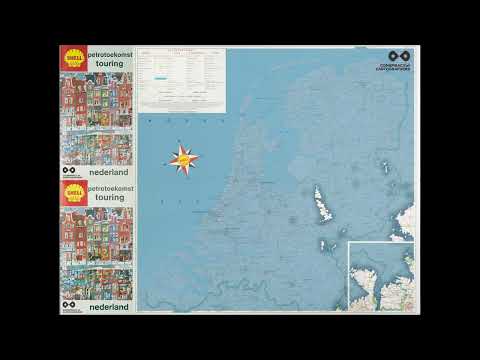
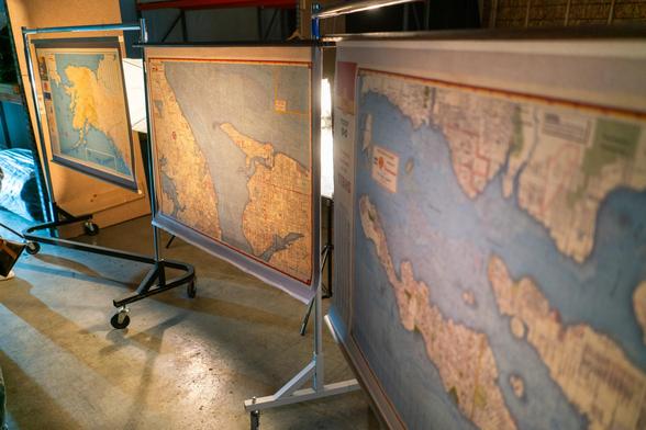
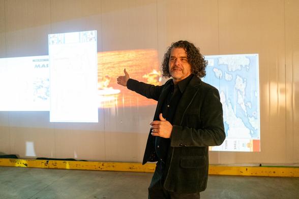
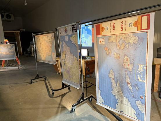
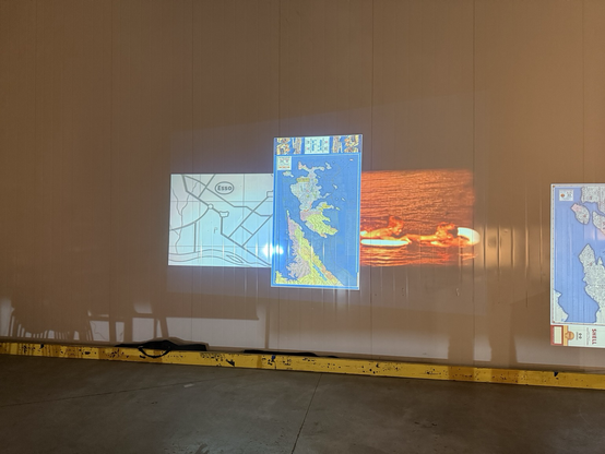
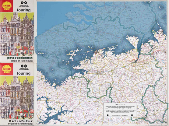
A map from the past transforms into a vision of the future--66m sea level rise on a vintage Esso map.
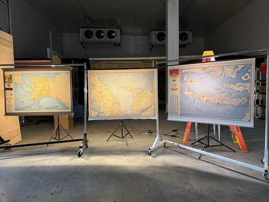
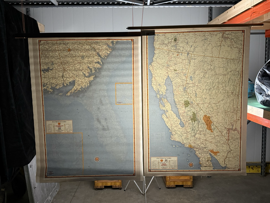
Once in a while, it makes sense to break through the boundaries of the original map, which is what I've done here.