We are increasingly using street-level imagery, crowdmapping, and deep learning models to generate high-resolution geodata for under-mapped regions.
These are our most recent advances to help scale data collection and analysis:
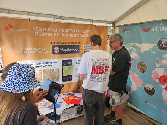
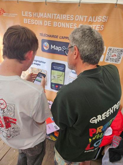
🔸an easy way to help volunteers map needed information by swiping on street-level images in the #MapSwipe web app,
🔸a private #Panoramax instance with a dedicated pipeline to automatically analyze crowdsourced street-view imagery.