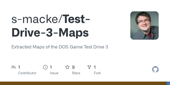
I reverse-engineered the world maps of Test Drive III (1990 DOS game)
https://github.com/s-macke/Test-Drive-3-Maps
#HackerNews #reverseengineering #TestDriveIII #DOSgames #gaminghistory #mapdesign
I reverse-engineered the world maps of Test Drive III (1990 DOS game)
https://github.com/s-macke/Test-Drive-3-Maps
#HackerNews #reverseengineering #TestDriveIII #DOSgames #gaminghistory #mapdesign
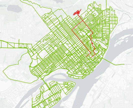
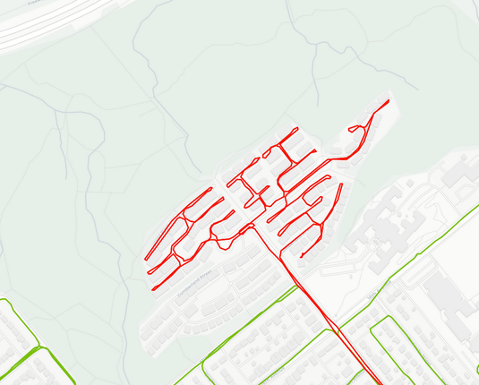
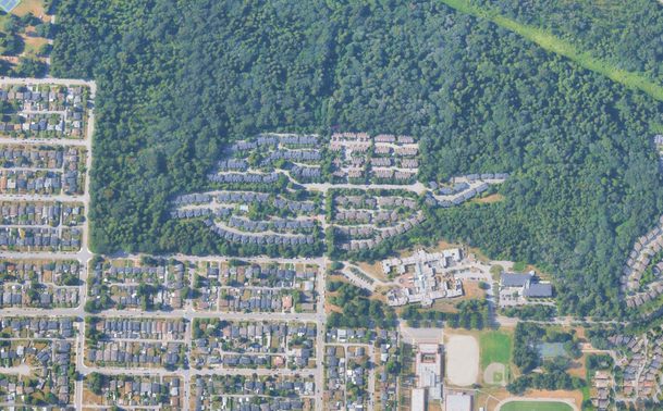
Today's #biking around the city.. to add to my heat map a residential area surrounded by an park/urban forest... a quarter of the area was gated... it makes my brain a little itchy not having completed it...
It looks like a fingerprint.
#CityMap #UrbanPlanning #Transportation #CityRoutes #MapDesign
#UrbanMap #SuburbanArea #CityPlanning #RoadNetwork #OpenSpaces
Interesting Map Geometry and Mathematics
#HackerNews #InterestingMap #Geometry #Mathematics #MapDesign #GameDev
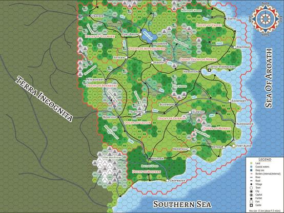
In preparation for creating the print-on-demand version of the ANDERS Core Rules book, I used the opportunity to improve the map for the Kingdom of Aroath a little bit.
Do you like the smoother design?
We are officially starting a brand new map in Arma 3 tonight, which means new terrain, new tactics, and a lot of "where are we?" moments.
On top of the live ops, I’m also working on my very first custom mission map on the side. I’ll be sharing some of the progress and the "behind the scenes" logic of how I'm setting it up.
Watch the deployment (and the design): https://www.twitch.tv/cheshire_ge
#Arma #MilSim #MapDesign #Gaming #Twitch #TacticalGaming #PCGaming #GamingCommunity #MissionEditor
Placing #Bajor and #Cardassia is giving me fits tonight. Not for the first time either. I just want to find X-Y placements that fit what's been published and broadcast/streamed.
#starTrek #stellarcartography #starcharts #starmaps #fanart #tranquilityPress #fanfiction #graphicdesign #cartography #sciencefiction #mapdesign #workinprogress #research


Galactic maps are a staple of science fiction, helping audiences and players visualize sprawling universes. From interactive star charts in video games to on-screen maps in TV series, these representations must balance aesthetics, scientific plausibility, and storytelling needs. This article examines how various franchises – including Star Wars, Star Trek, Mass

Using Wave Function Collapse to solve puzzle map generation at scale
https://sublevelgames.github.io/blogs/2025-06-22-nurikabe-map-gen-with-wfc/
#HackerNews #WaveFunctionCollapse #PuzzleGeneration #MapDesign #GameDev

Exploring how Wave Function Collapse (WFC) algorithm solved map generation failures for Logic Islands’ Modern, Minimal, and Yin-Yang rulesets at sizes above 7x7. Learn how proper tile connections and constraints can automatically generate maps satisfying complex puzzle rules.