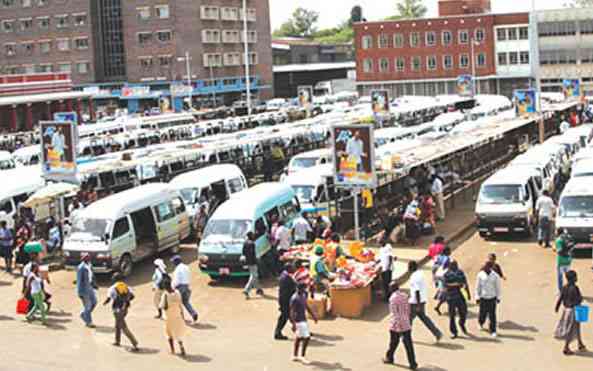
“All the cities of the world are going to expand. We need to have a better understanding of what makes good urban habitat for home sapiens.”*…
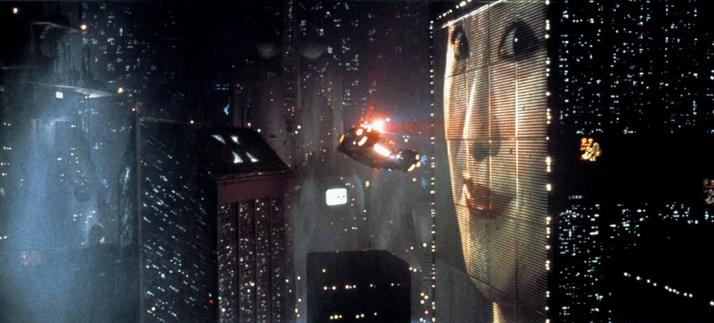
The futuristic city in
Bladerunner (
source)
“When did our vision of the future become so constrained, tired, and even dystopic?” Julien Crockett talks with Bruno Carvalho, the author of The Invention of the Future: A History of Cities in the Modern World, about the history of city planning and how urban design intertwines with a society’s prognostications and projections…
Cities have long been places of possibility—places where it seemed that we could break from the past and create an entirely new future. As Bruno Carvalho observes in his new book, The Invention of the Future: A History of Cities in the Modern World, this mindset is a key feature of what it means to be “modern”—a sensibility toward the present and the future as it relates to the past.
Yet, as Carvalho’s wide-ranging history details, a break from the past does not assume a positive vision of the future. In fact, Carvalho begins his book with the question “Where did the future go?”—the title of a debate between the venture capitalist Peter Thiel and anthropologist David Graeber. Both imagine that the only cities of tomorrow are on Mars. When did our vision of the future become so constrained, tired, and even dystopic?
Carvalho’s book returns to a recurring paradox we have faced since the Enlightenment: the better our capacity for creation and prediction, the more limited our ability to imagine a new future. He marvels, though, that “we know some of what is coming: urbanization and climate change, life and death. Between all that, there is a lot of space for reinvention.”
In our conversation, we look to the past to help us think through what reinvention might look like and discuss what it means to plan for a radically different future. We also discuss the legacies of Silicon Valley, the construction of New York City, urban futures moving from the West across the Pacific, and whether Carvalho is optimistic about what’s to come…
Eminently worth reading and pondering: “Where Did the Future Go?” from @lareviewofbooks.bsky.social.
* Jan Gehl
###
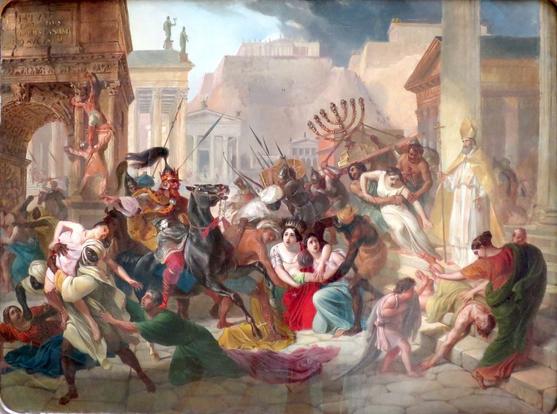
As we undertake to understand the urban, we might recall that it was on this date in 455 that the Vandals entered Rome, which they plundered for the next two weeks. It was, as sackings went (this was Rome’s third, of four altogether), relatively “light”: while the Vandals (who had destroyed all of Rome’s aqueducts on their approach) looted Roman treasure and sold many Romans into slavery, their leader Genseric acceded to the pleas of Pope Leo that the Vandals refrain from the wholesale slaughter of Rome’s population and the destruction of the Eternal City’s historic buildings.
Genserich’s Invasion of Rome, by
Karl Bryullov (
source)
#ancientHistory #BrunoCarvalho #cities #city #cityPlanning #culture #future #Genseric #history #Rome #SackOfRome #society #urbanDesign #urbanPlanning #Vandals