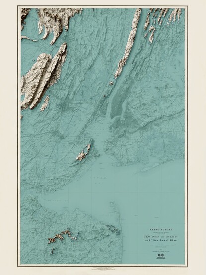
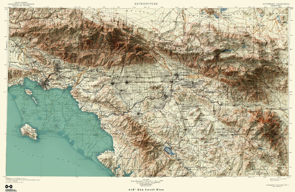
Day 56. Glen Canyon in blue 🔹
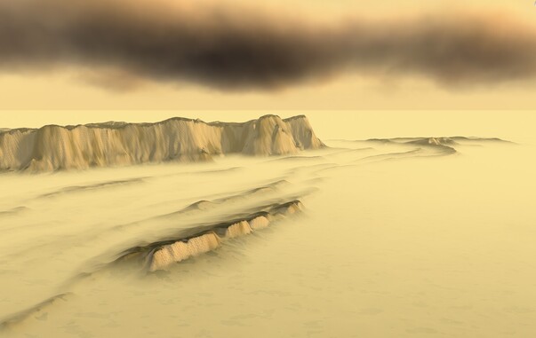
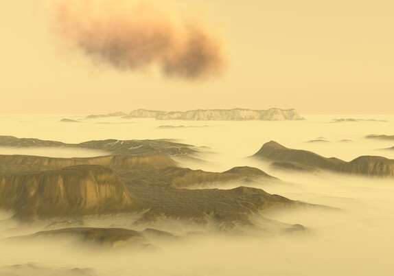
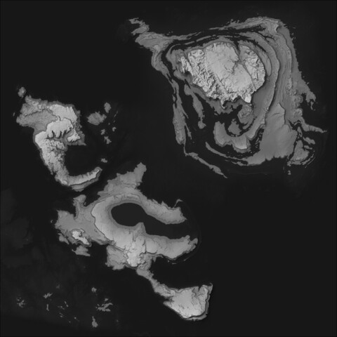
A 3D model of Glen Canyon built from USGS 2m DEM data, using a blue-to-turquoise ramp instead of traditional terrain colours.
The geometry stays the same, but perception shifts as canyon structures emerge differently through colour.
Main challenge: balancing detail with browser performance on dense relief.
Workflow: QGIS → Qgis2threejs → Three.js.
🔗 https://maptheclouds.com/playground/30-day-map-challenge-2023/na-blue/
#100DayMapChallenge Day 56/100